Log in
All resources
Create a design
23 Free Images of Old Maps Of Groenlo
maps by willem and johannes blaeu
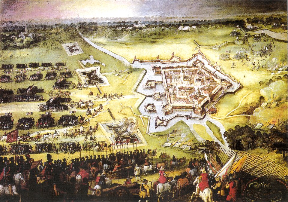
siege of groenlo 1627
17th-century fortress plans
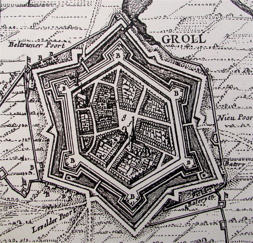
circumvallatielinie (groenlo)
old maps of zutphen
atlas van loon
siege of groenlo 1672
old maps of culemborg
old maps of harderwijk
dutch 17th-century prints in the rijksmuseum amsterdam
maps by willem and johannes blaeu
ravelins
circumvallatielinie (groenlo)
coats of arms on maps
17th-century fortress plans
military trenches
claes jansz. visscher (ii)
1627
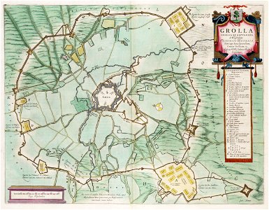
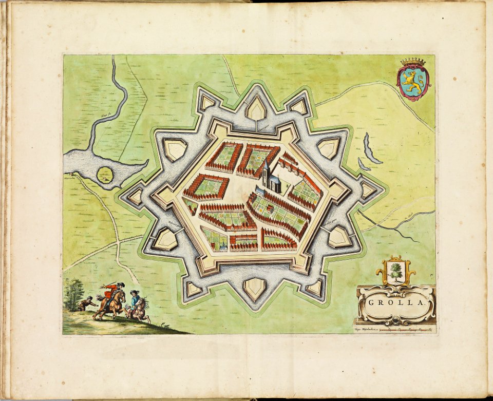
old maps of groenlo
atlas de wit 1698
maps by willem and johannes blaeu
circumvallation
17th-century fortress plans
cityscapes in art
elburg
wesel
maps by willem and johannes blaeu
old maps of groenlo
büderich (wesel)
netherlands
netherlands
the hague
maps by willem and johannes blaeu
siege of groenlo 1627
maps by willem and johannes blaeu
siege of groenlo 1627
maps by willem and johannes blaeu
siege of groenlo 1627
ambrosio spinola, marqués de los balbases
karel bonaventura buquoy
maps by willem and johannes blaeu
copper engravings
1740s maps of the netherlands
maps of borculo
siege of groenlo 1627
county of zutphen
engravings in the rijksmuseum amsterdam
horse riding in engravings
prints published by claes jansz. visscher (ii) in the rijksmuseum amsterdam
maps in the rijksmuseum amsterdam
dutch 17th-century prints in the rijksmuseum amsterdam
siege of groenlo 1627
etchings in the rijksmuseum amsterdam
isaac sorious
etchings in the rijksmuseum amsterdam
isaac sorious
1 - 23 of 23
/ 1